Winter 2013-2014 recap March 28, 2014
Posted by Mike C. in Jazz, Media, Music, Personal, Photography, Technology, Weather.trackback
3/31 UPDATE: Pictures of this morning’s wet snow added at the end of this post.
4/16 UPDATE: Post revised to reflect earlier snow than I previously remembered and a coating early this morning.
The winter of 2013-14 didn’t begin and end at the official times. Winter weather bled into mid-fall and early spring. The first snow came over a month before winter and the last came a month after winter. The first storm to produce an inch or more of snow came two weeks before winter and the last storm to do that came a week and a half after winter.
This post serves as a photo recap of most of the snow to affect my neck of the woods – Western Long Island.
Unlike the previous two winters, there were a handful of storms that left six or more inches of snow. Luckily, February 13 was the last storm of that kind. The rest of the season featured minor storms with little to no accumulation.
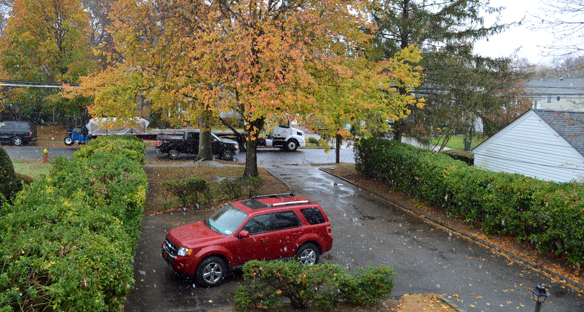
November 12:
December 8:

December 10:


December 14:


As I went outside to shovel, the snow switched to rain and the air temperature approached 50 degrees, about 25 degrees warmer than when snow began.

January 2-3: See separate post
January 21-22: See separate post
January’s snow was powdery and lightweight because temperatures were well below freezing. As you’ll see below, most of February’s snow was wet and heavyweight as temperatures were near or above freezing when it fell.
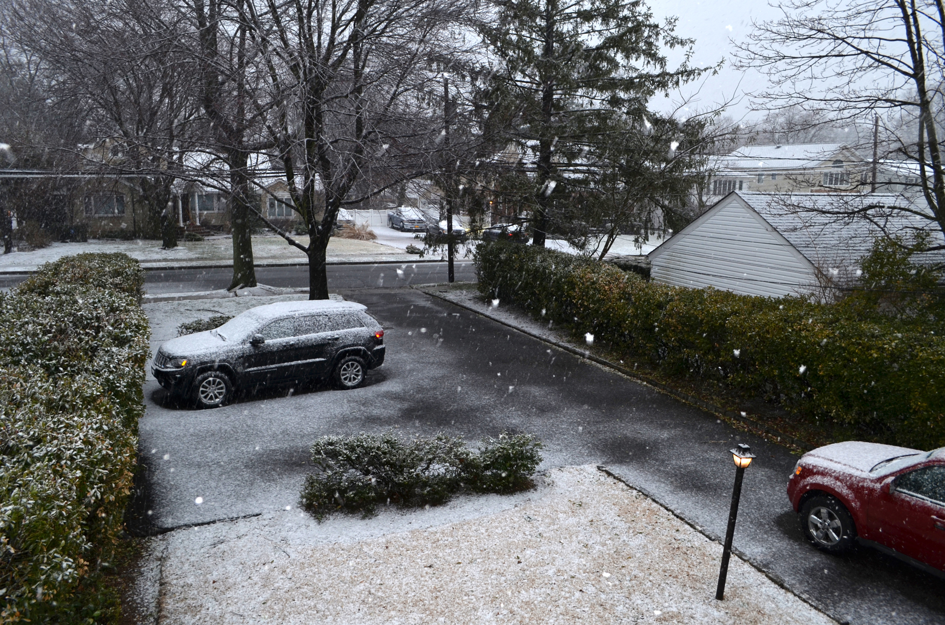
February 3:


February 5:
A couple of inches fell on February 9, but were powdery and light. It was nonetheless hard to shovel because of the frozen slush in the driveway from the previous two storms.
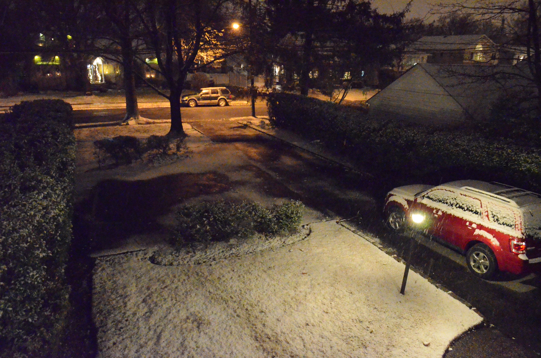
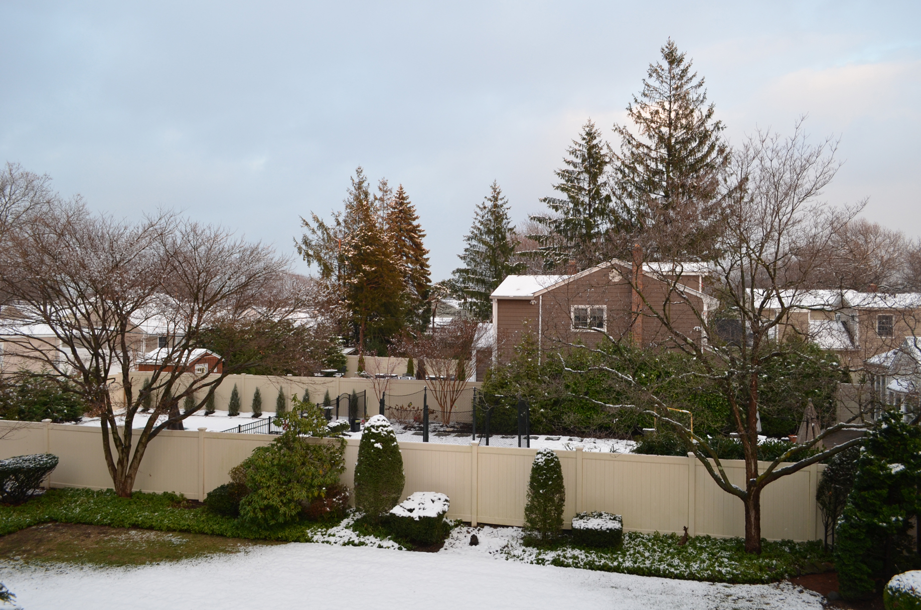
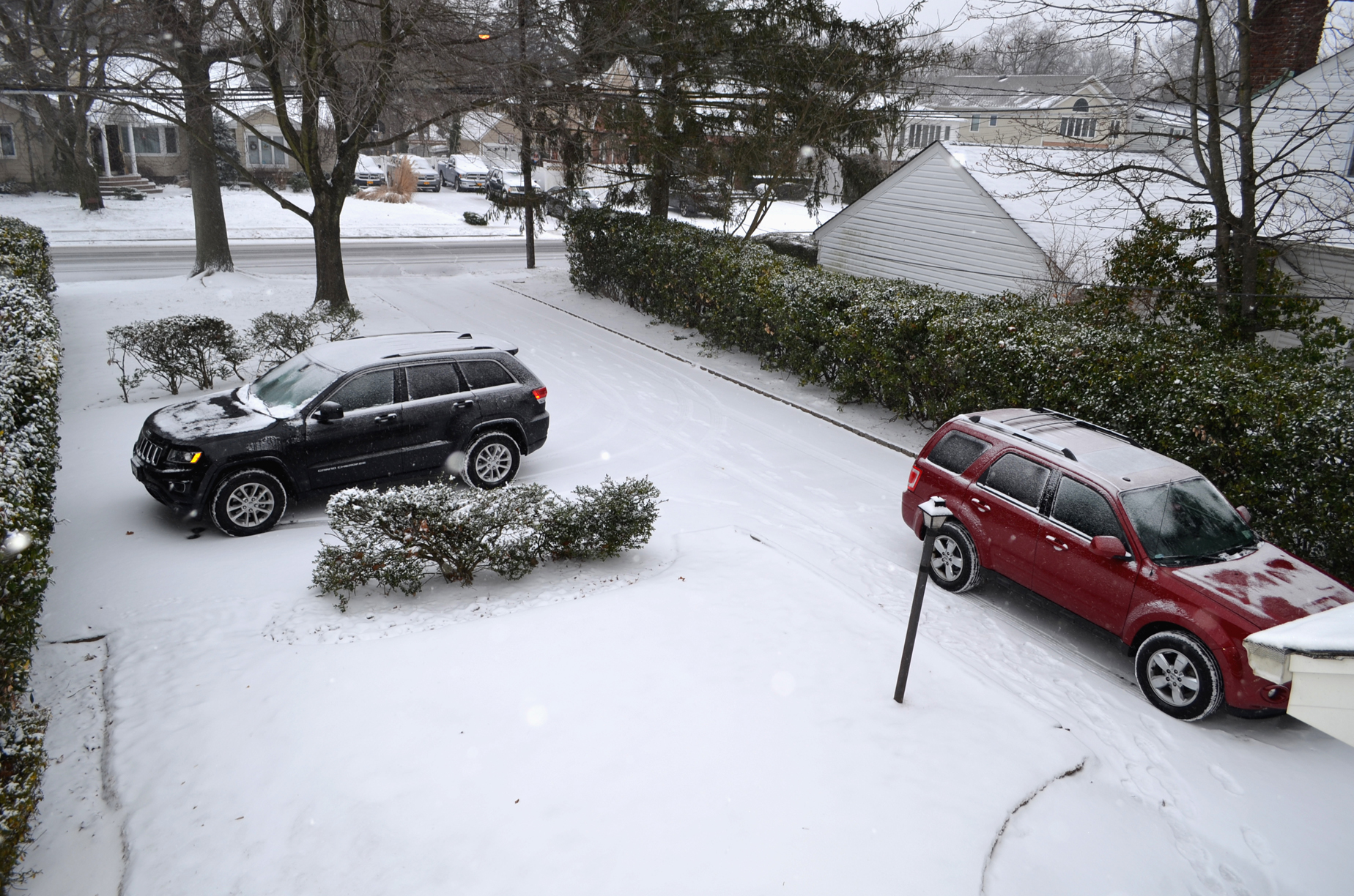
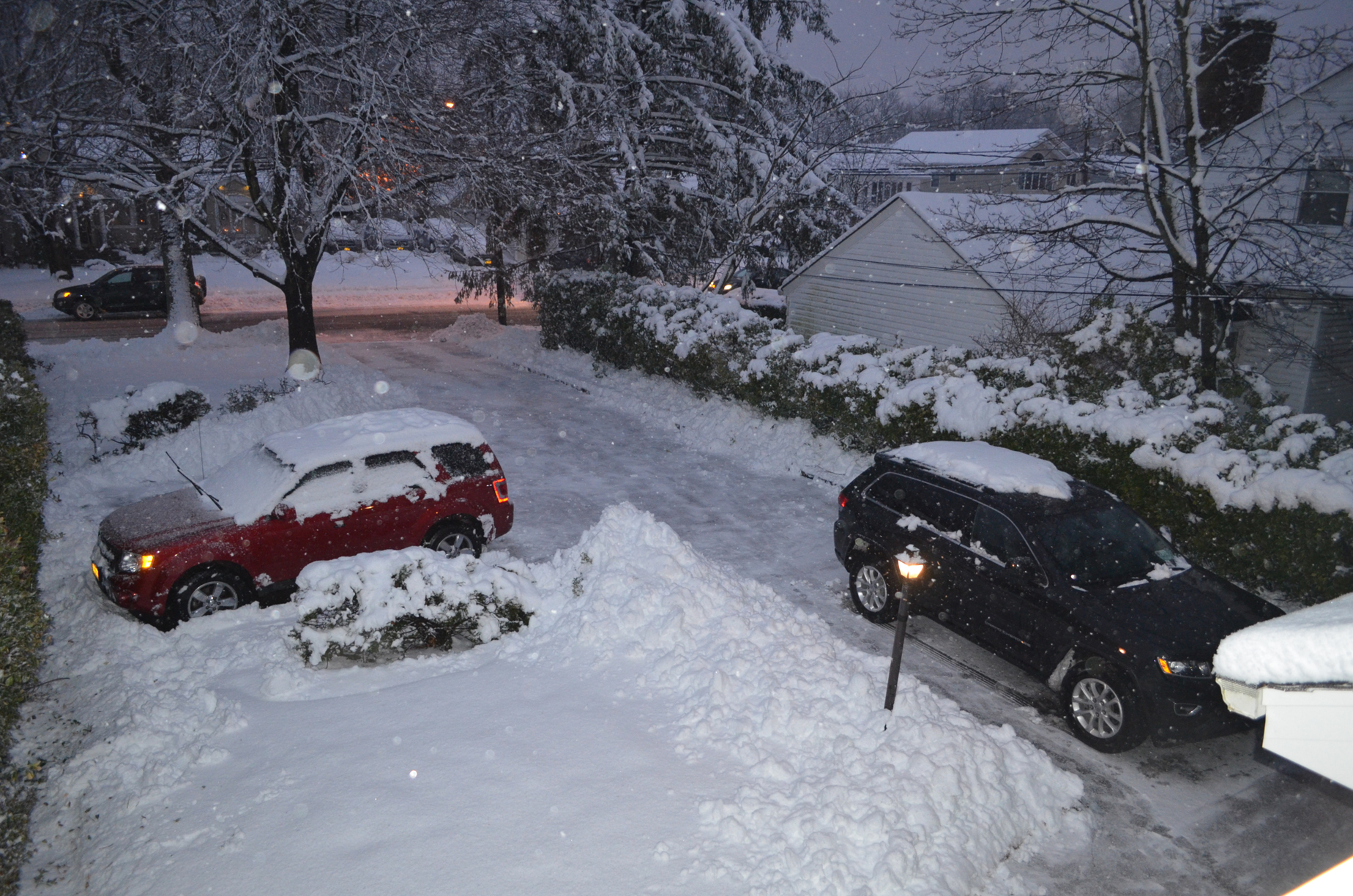
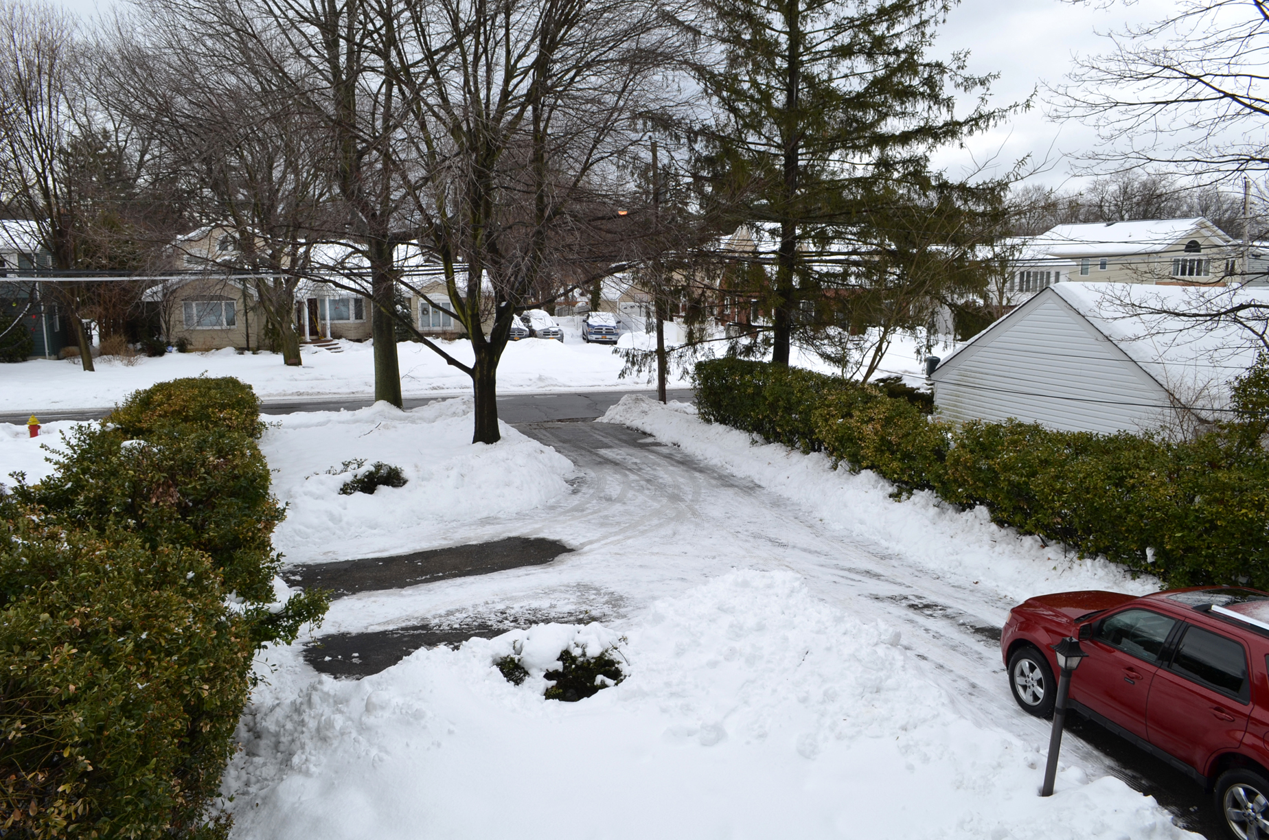
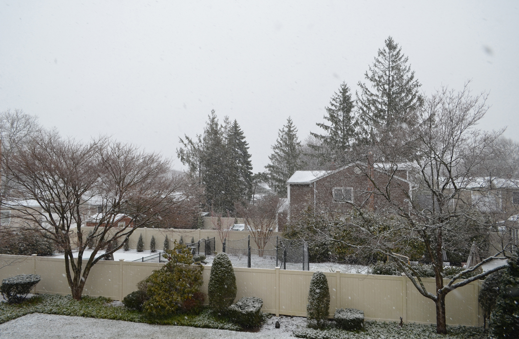
February 13:


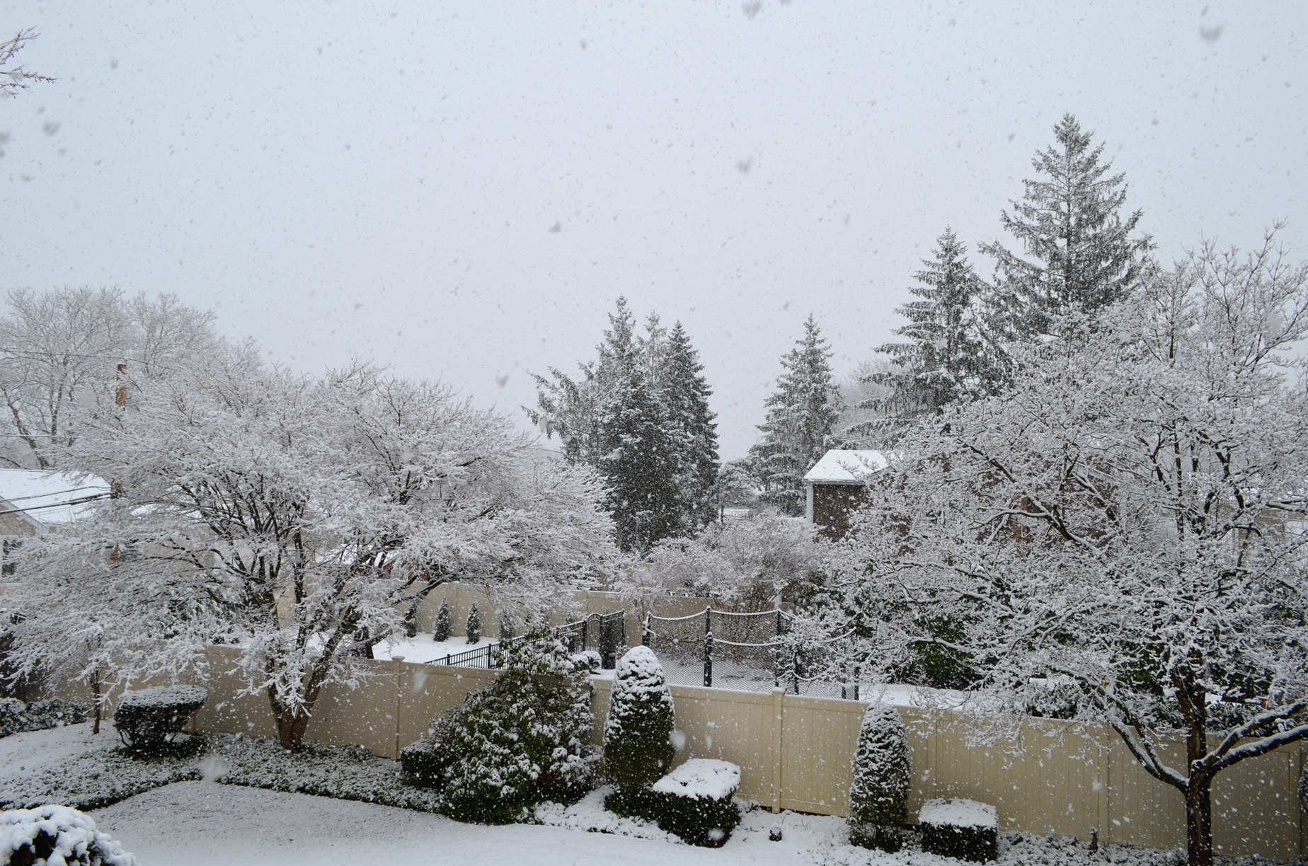
February 14:
As I noted at the top, this was the last big snowstorm of the season. A smaller storm dropped a couple of inches on February 15, which didn’t stop me from going to Manhattan to see saxophonist Jeff Kashiwa perform.
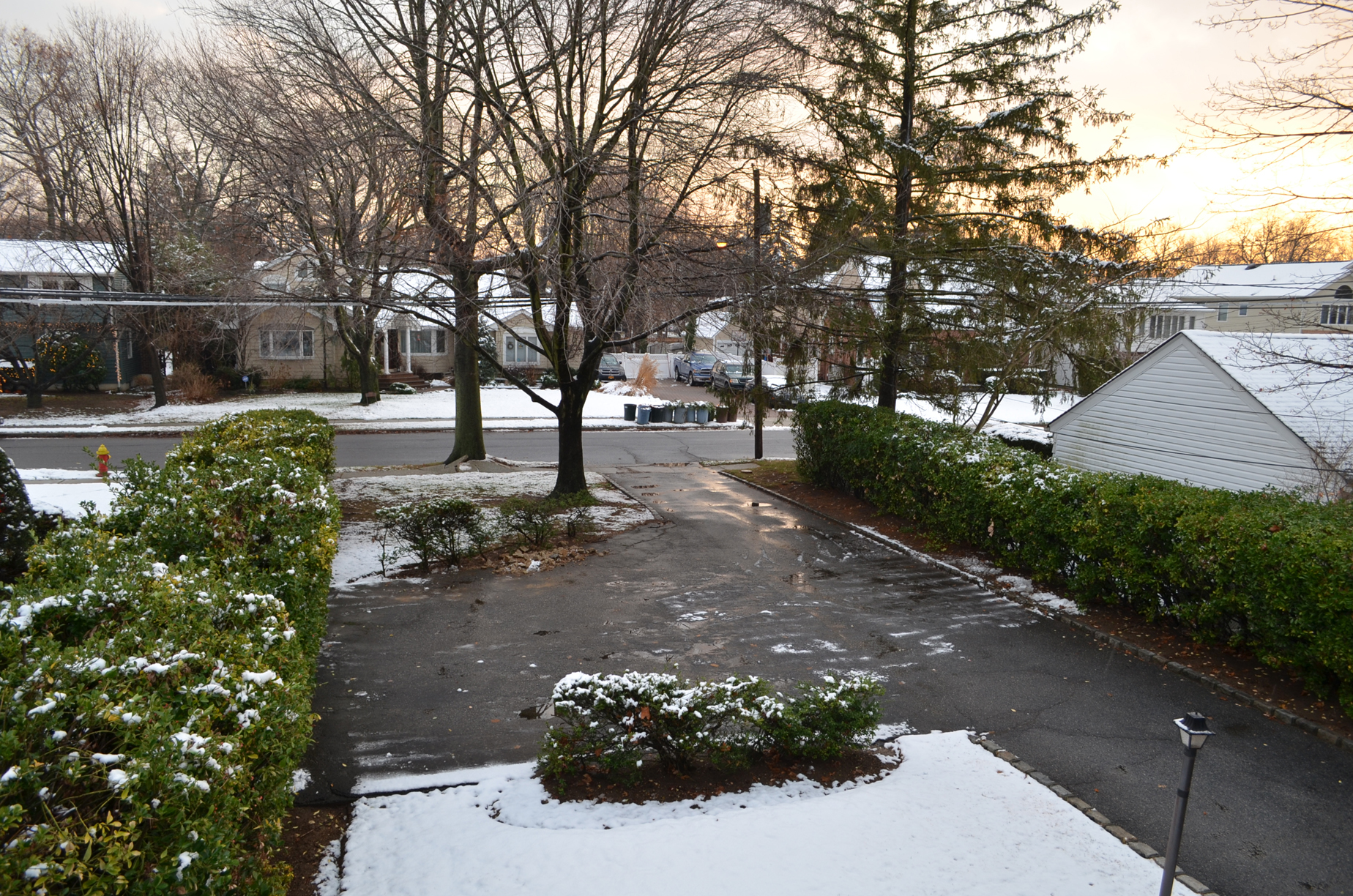
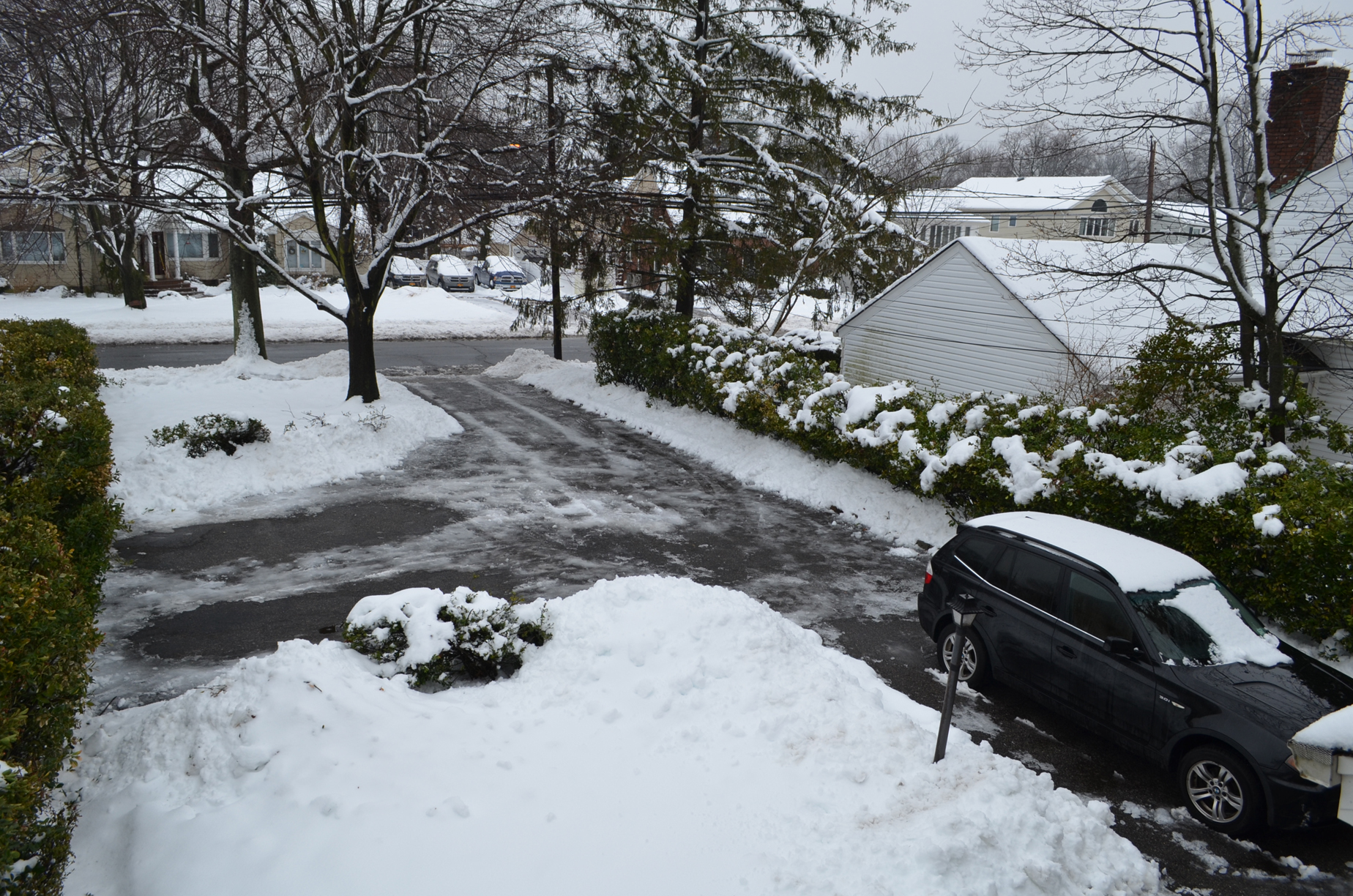
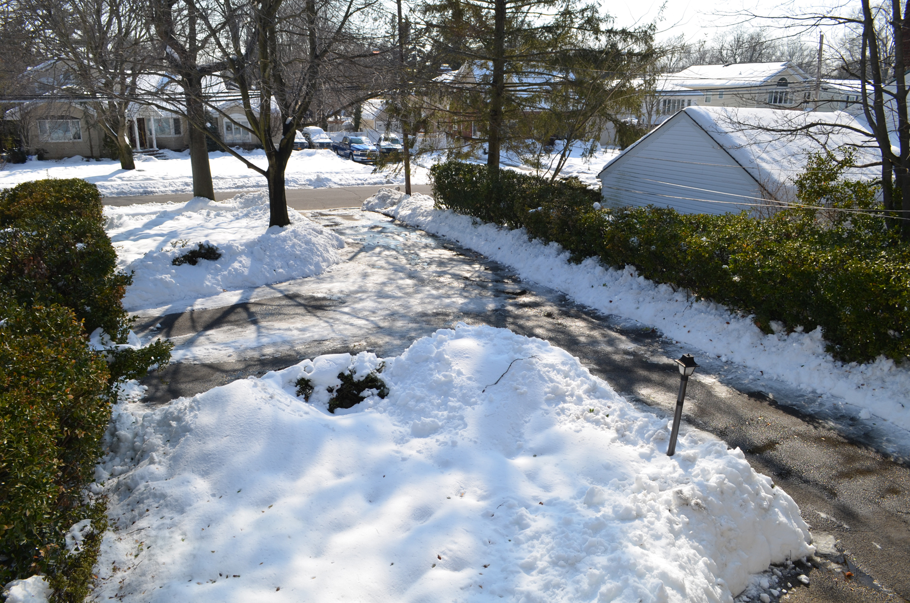
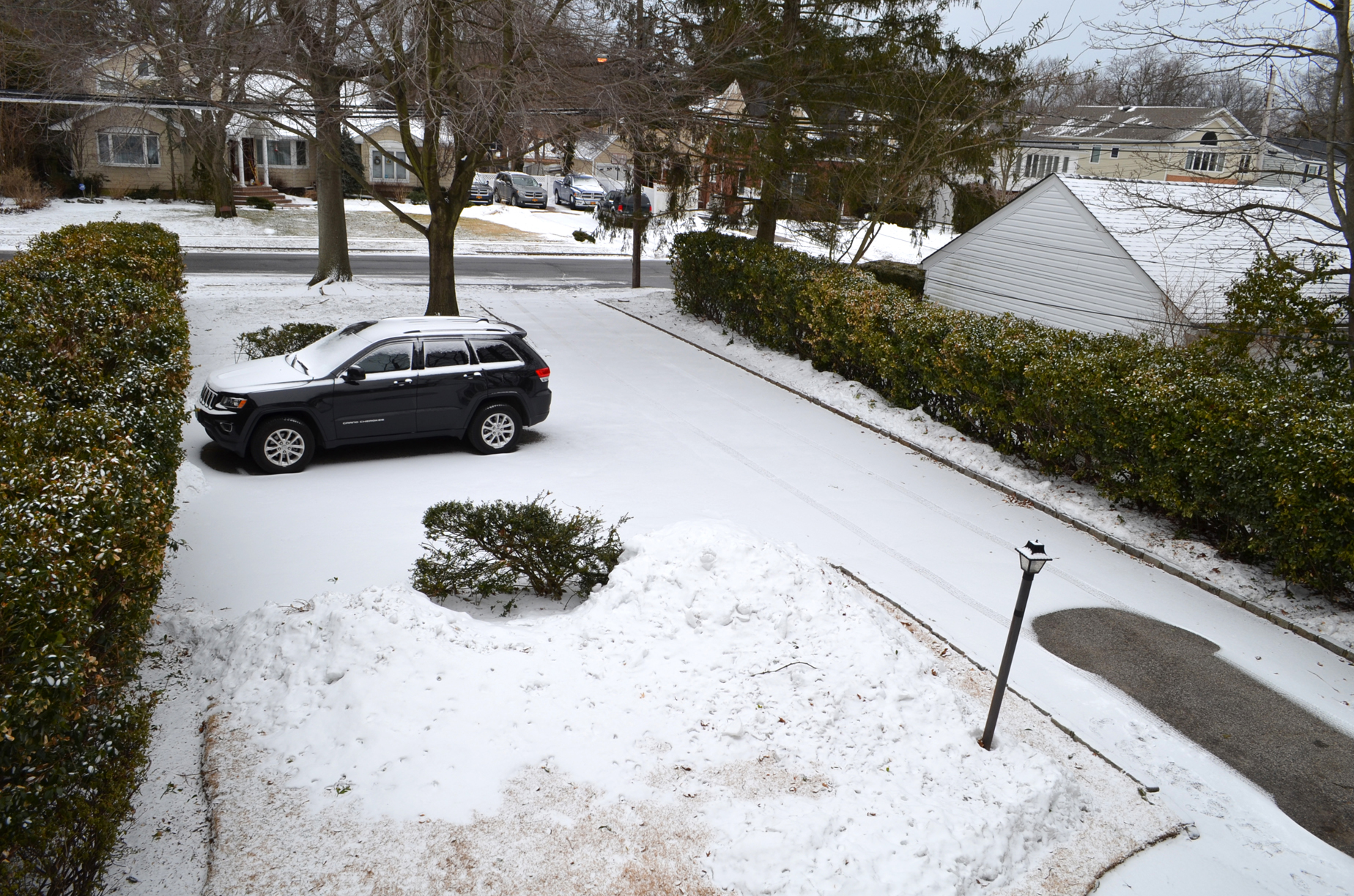
February 18:

After this quick coating of snow, we were treated to six days of above normal temperatures; perfect melting weather.
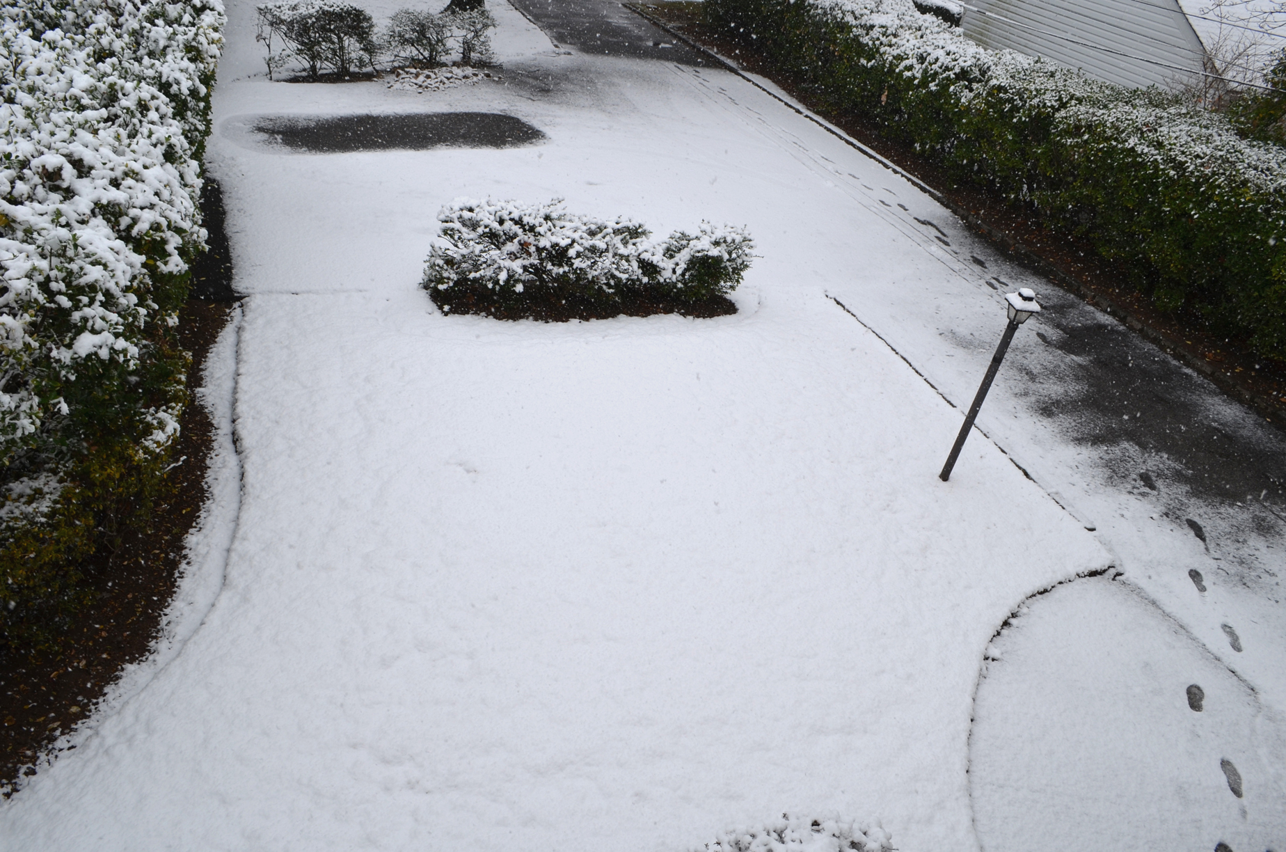
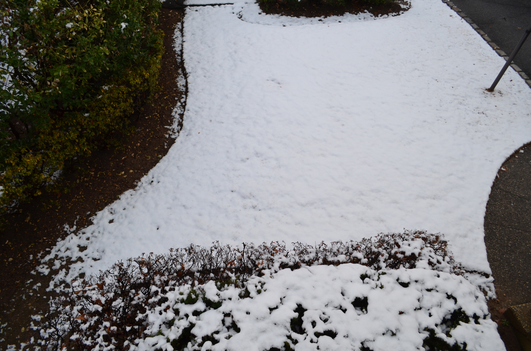
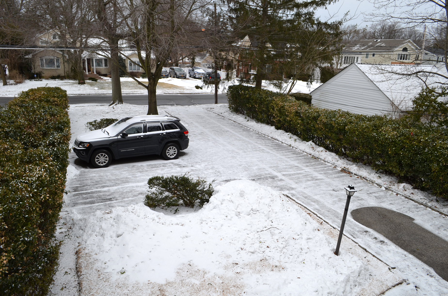
Snow showers came through on the afternoon of February 26, also leaving a coating, which quickly melted in the sun, despite temperatures in the 20s.
March 3:
March was a month of near misses and close calls. It began with this storm. Nearly a foot of snow was initially forecast, but in the 48 hours leading up to the storm, computer models kept suppressing it further and further south. Thus, the snowfall forecast dropped all the way down to an inch at most. We ended up with less than that, but I still shoveled it.
The next near miss came on March 17. Once again, a lot of snow was expected initially, but that threat went away quicker. Again, up to an inch was the final forecast and we didn’t get a thing. I woke up on St. Patrick’s Day to a dry driveway.
The ultimate near miss came on March 26, a week into spring. This would be a blizzard, like the one on January 2, but with wet snow, like the three storms in February. Up to nine inches was expected for a while, but the storm was suppressed to the south and east, making it a bigger threat for eastern New England and Atlantic Canada. For them, it was a monster with tropical storm-force gusts on land and hurricane-force gusts at sea. For us, only a coating fell, which quickly melted. And wind gusts behind the storm were no higher than 50 miles per hour.
As pretty as snow is when it falls, it is a pain to shovel. So, as of now, I won’t miss winter completely. Luckily, as we move deeper into spring, milder temperatures are ahead.
Before long, the three Hs – hazy, hot, and humid – will return, and the pesky Bermuda High will keep humidity-breaking cold fronts from coming through. By then, cold air and snow will be a refreshing thought.
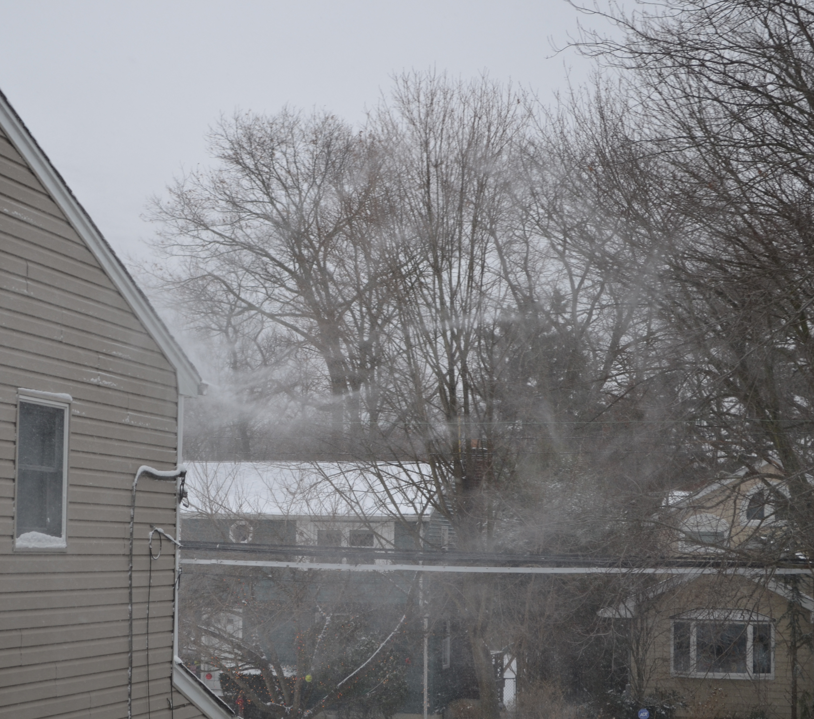
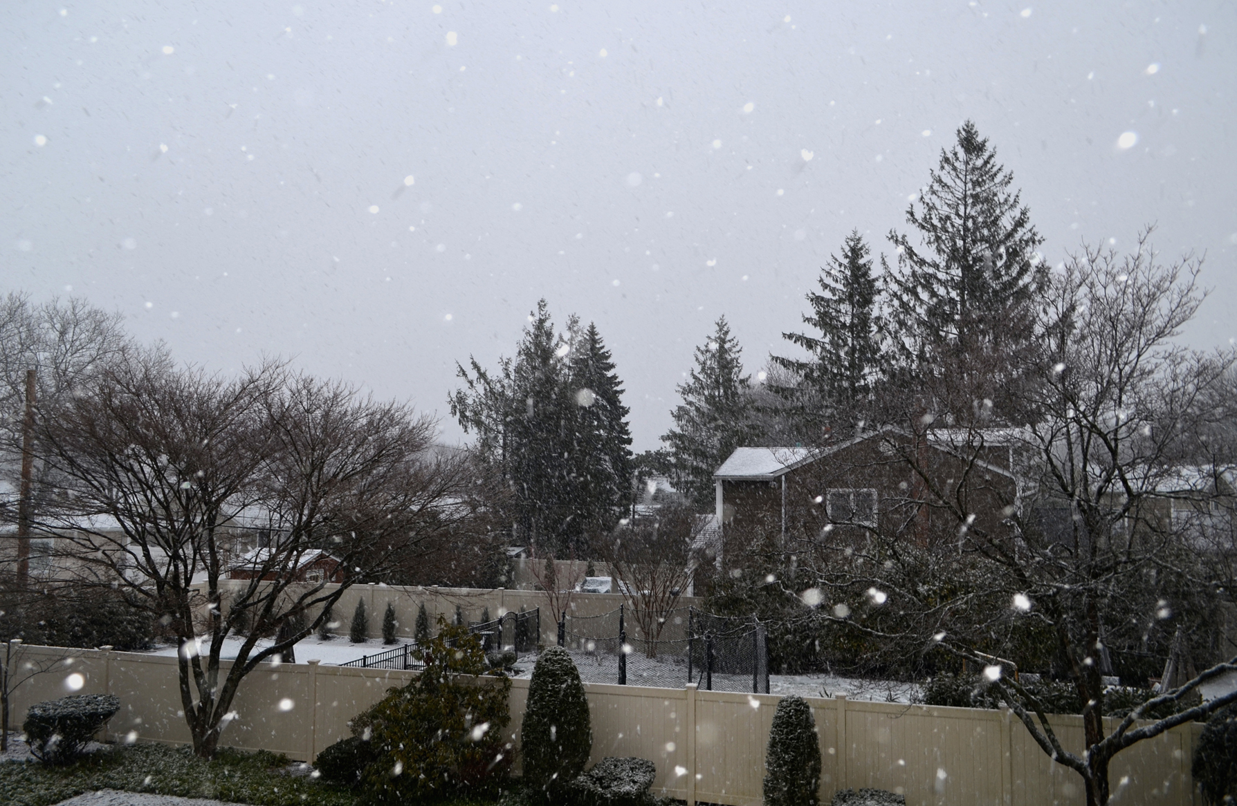
3/31 UPDATE: Earlier this morning, around sunrise, rain began to mix with sleet and wet snow, and then it changed to all wet snow. About an inch fell over two hours and is already melting, as of 11AM. Here is how it looked:

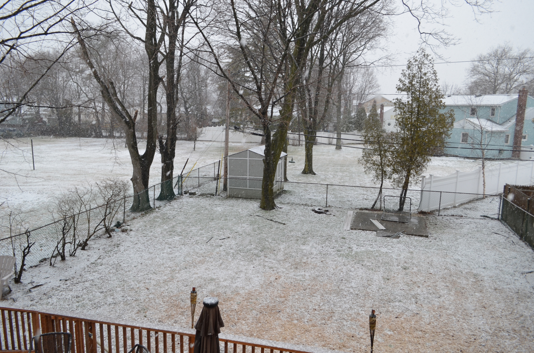


This should be the last snow of the season. If I don’t post anymore updates, you’ll know it was.
4/16 UPDATE: It wasn’t. A shot of unseasonably cold air behind a cold front turned any precipitation to sleet or wet snow overnight. Temperatures were near freezing at the time. It dropped a quick coating, which I found on my sister’s car and the backyard deck when I woke up after sunrise:


The coating will melt fast in the warm April sun, even though it’s only 35 degrees as I type at 9:30 AM. Since it’s spring, a freeze warning was issued for this morning. Temperatures will return to normal by the weekend.

Comments»
No comments yet — be the first.